 If you are interested in the tools of our project, join us at PGdays event this summer - a great venue to hang out, talk, learn the way of the database
Open Parcels
Open Source GIS System nutzen, um den Bauernhof digital abzubilden. Integration zusätzlicher Layers mit Mehrwert für die Landwirte.
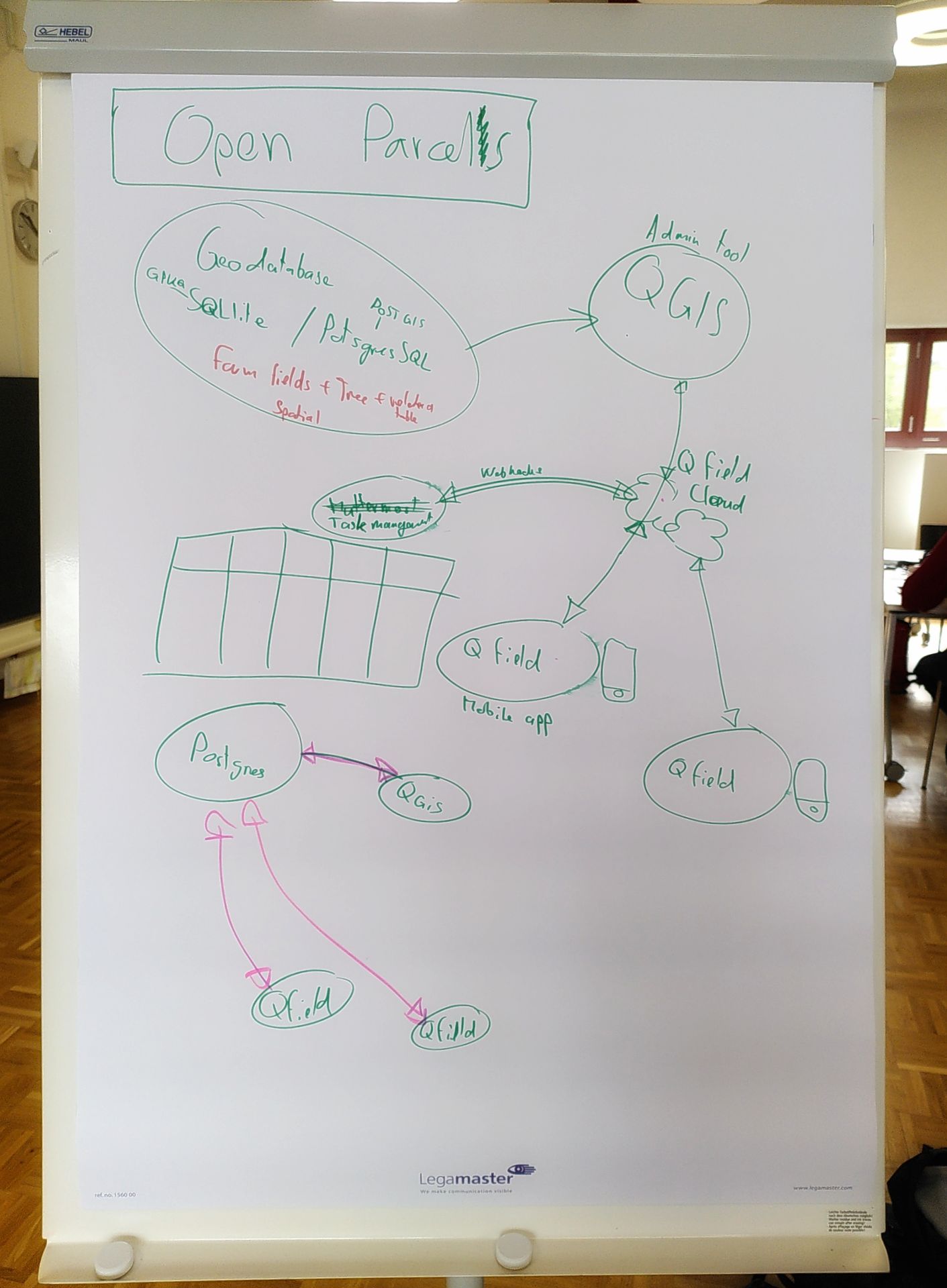
We are learning to install, work with, and extend the QFieldCloud (source) project - a service to synchronise data between QField users, itself based on Django, PostGIS, GeoDB, Minio - in a Linux cloud (a virtual machine in a Swiss data center managed by Exoscale). Everything we are doing should also run "offline" on a small Linux computer or even RaspberryPi.
As proposed in the Challenge, field workers need to update geographically-precise details about biodiversity and other characteristics of parcels on the farm. They are doing this with a convenient, freely available, open source mobile app - QField. The data properties are configured using QGIS, which is also used to combine the farm data with other geodata - such as open data from Swisstopo and Opendata.swiss.
Using analytics tools in QGIS and other open source GIS tools, the smart farm can manage their fields, collect statistical information needed for reporting, and even do predictive analytics to help with planning. One use case we would like to focus on is project management. We are investigating the possibility of an API-based connection from QFieldCloud to Mattermost or the Vikunja planning tool.
References
- https://lafermechautems.ch/
- QField im forstlichen Einsatz Fachstelle GWP / ibW Bildungszentrum Wald (PDF)
Sketches
Challenge
Digitaler Zwilling des Hofs ermöglicht effizientes Management der Diversität
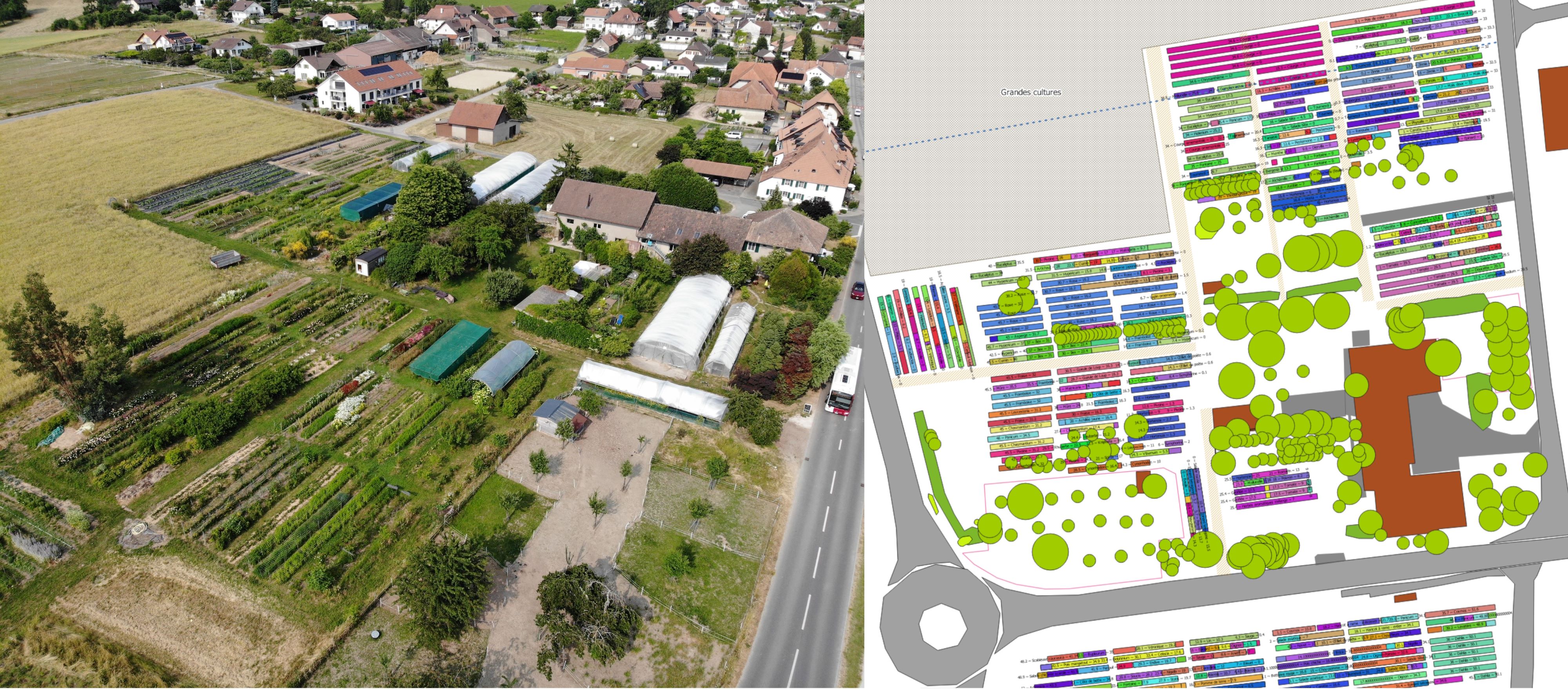
QGIS ist ein Open Source Geographisches-Informationssystem (https://www.qgis.org/de/site/). Marc hat seinen Bauernhof darauf abgebildet (Flächen und Kulturen). Die anfallenden Arbeiten pro Fläche bzw. Kultur werden angezeigt, wodurch alle Mitarbeitenden auf einfache Weise den Überblick behalten und Informationen holen und eintragen können. Ein vielfältig bebauter Bauernhof - auch genannt Mosaik Landwirtschaft - hat diverse grosse Vorteile (Stichworte Mischkultur, regenerative Landwirtschaft, Biodiversität, Resilienz). Das Tool ist die Voraussetzung, diese Komplexität mit beschränktem Ressourceneinsatz zu meistern.
Das Einbinden von mehr Layers (Daten) und der Ausbau in Richtung eines digitalen Zwillings würde noch diverse weitere Vorteile bringen, um die Komplexität effizient zu bewältigen
- Rotationsoptimierung Kulturen (rollende Planung, «Decision Support System»).
- Map Layer Biodiversität einbinden --> Anknüpfungspunkt zur Challenge "Machine Learning Kamera für Biodiversität"
- Alerts einbinden
- Daten zu Fruchtfolgen einbinden
- Daten zu Pestizideinsatz einbinden
- Etc…
Screenshots

Event finished
Sketching
Working doc of the presentation https://1drv.ms/p/s!AmWxzMI6kMdYmOZ3ehWomkSZqM40hQ?e=fxMxgm
Hey Oleg can you open additional port on the vikunja cloud server?
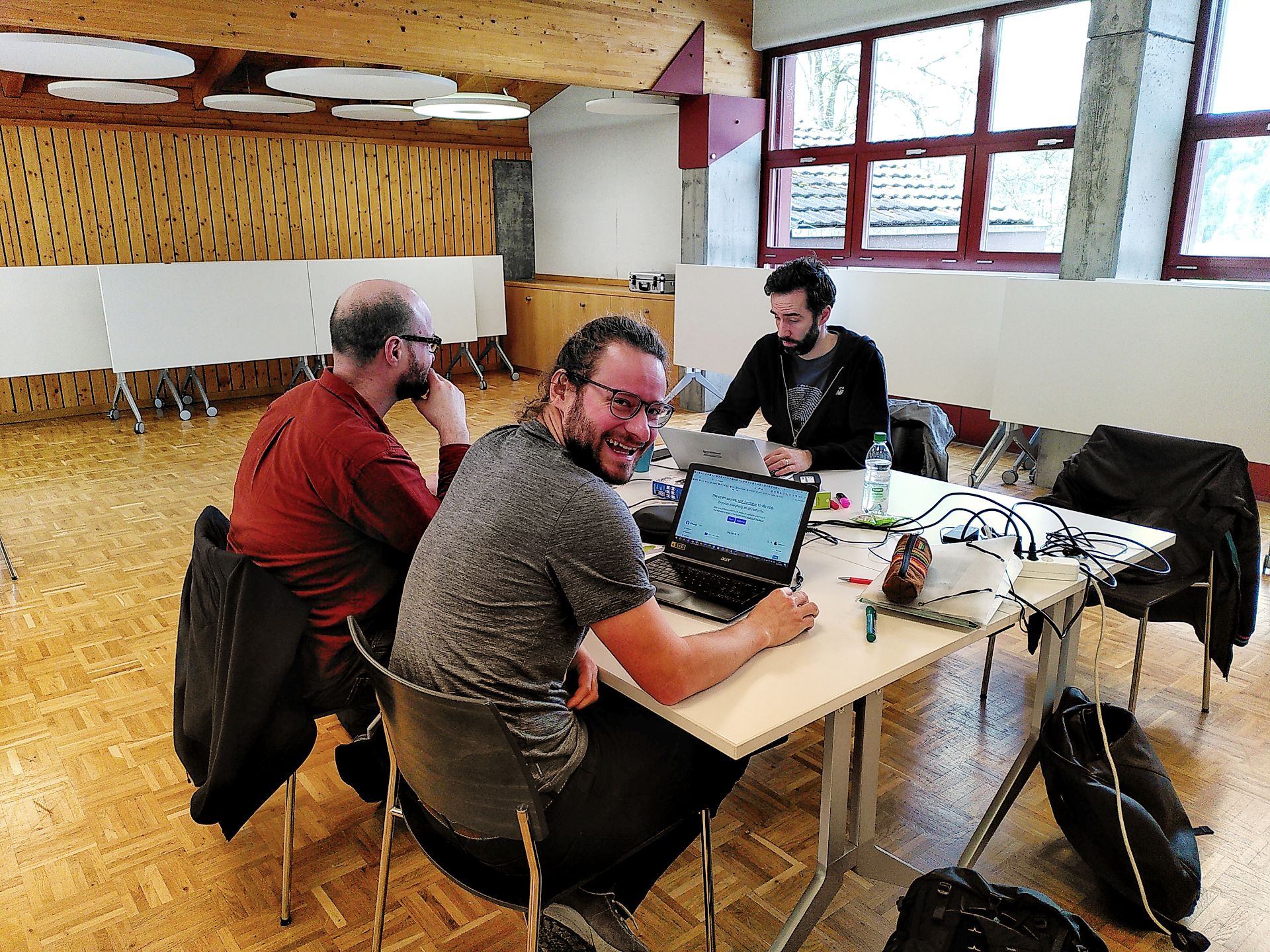 We put on some Rock'n'roll to bring out the 😊😁
ssh-ed25519 AAAAC3NzaC1lZDI1NTE5AAAAIAvLAtqG+Hz433TZkLubXdAzJAN2ZOJCvf3O8rRdA0v9 marc_chautems@outlook.com
Research
ssh-rsa AAAAB3NzaC1yc2EAAAADAQABAAABgQCas3qZueSXF926tyMfOvvUt4opI8ZMDsNO8xvRuM0io9RBsMN2p+U3z25ykhNsjrm/0bNBKnaag83VQ6NFRuKWmq1cs2NrBqAtuXyKUYoUorwCXE+KZIrqAuvzGbNG4auj2ENeNKR0QVUJkDHNarjdYzxIaylbbkWWXH/pKTK9UvYk5RgEGgLisbuCAbR91+6V6W1yNf84mUYDlw2Wh0sNSVQNuqmN6dMaTw1mw1t7zC4t2VO/
Joined the team
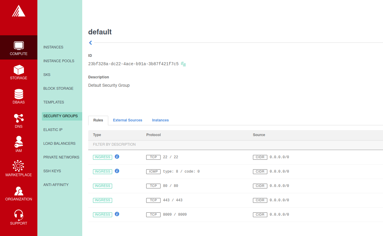 Setting up a firewall hacky hack hack
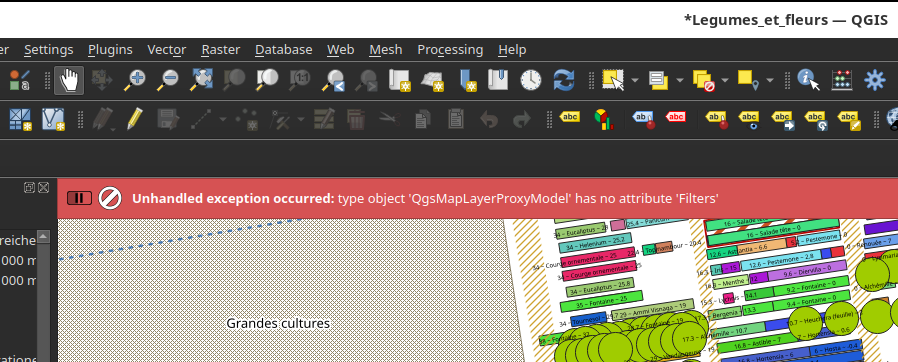 Oops.
Oops.
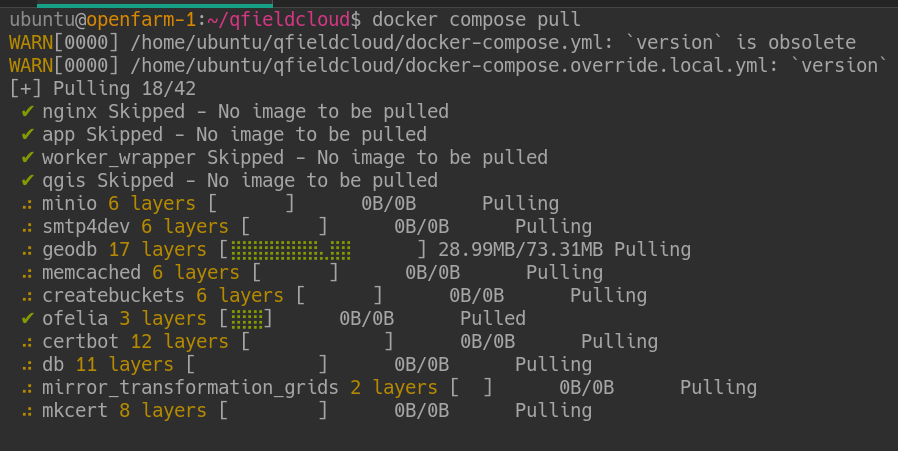 Installing ...
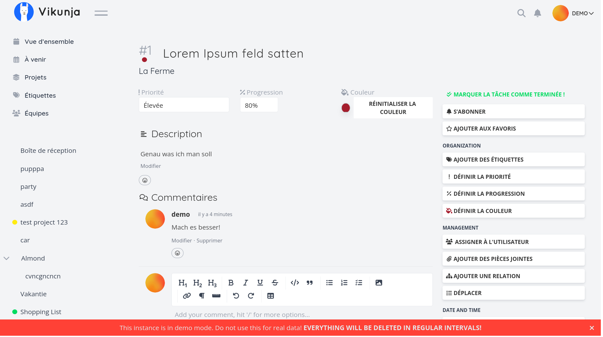 Quick test of Vikunja open source planning tool. Question: will it GIS?
Setting the base for the open source farm; how can we maximise the use of open source tool on a farm to solve every day farmer challenge? --> QGIS + Qfield, Mattermost, HomeAssistant
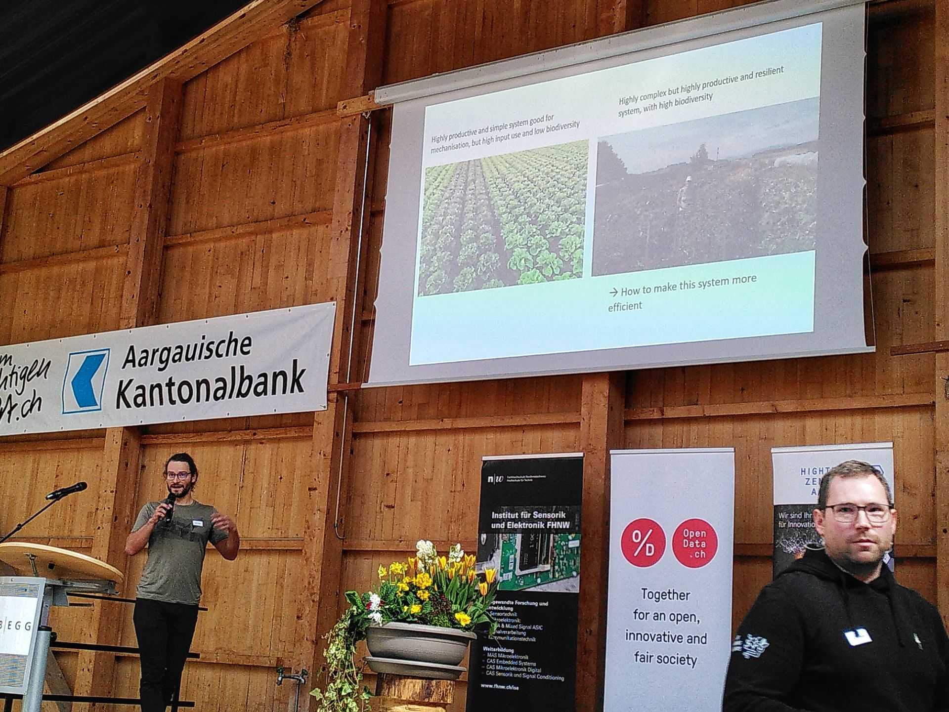 Challenge presented by Marc
Joined the team
Project
Event started
Joined the team
Joined the team
First post View challenge


